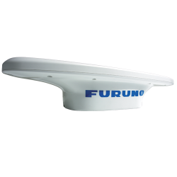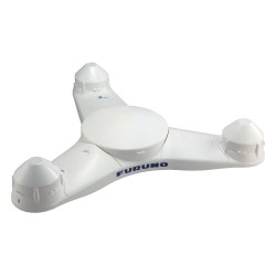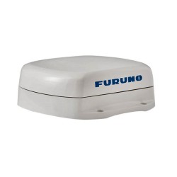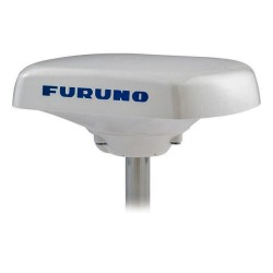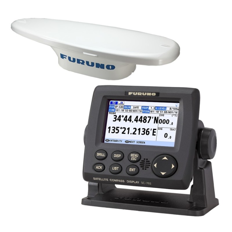


The Furuno SC 70 is a commercial-grade satellite that increases the accuracy of other devices such as Radar ARPA Scanning Sonar Current Indicator Chart Plotter ECDIS and Autopilots. They provide a highly accurate heading input to these other technologies by utilizing the very latest GNSS (Global Navigation Satellite System).

Payments processed by PayPal or Takepayments are 100% secure.

Delivery via Royal Mail or APC Courier
 Return policy
We will accept goods for return up to 14 days from our shipment date. See our returns page
The SC-70 is built on Furuno's commercial grade technology platform to improve the accuracy of other devices such as Radar ARPA Scanning Sonar Current Indicators Chart Plotters ECDIS and Autopilots. They provide a highly accurate heading input to these other technologies by utilizing the very latest GNSS (Global Navigation Satellite System). This satellite system is comprised of GPS Galileo and GLONASS to ensure the higher percision and a continuous coverage.
The SC-70 provides a variety of data including GPS Positioning SOG (Speed Over Ground) COG (Course Over Ground) ROT (Rate of Turn) and 3-axis speed (Bow stern and longitudinal). All of this data assist with critical maneuvers such as berthing. The compass is mainenance free and is a great asset for any vessel.

You might also like
Download PDF
The Furuno SC 70 is a commercial-grade satellite that increases the accuracy of other devices such as Radar ARPA Scanning Sonar Current Indicator Chart Plotter ECDIS and Autopilots. They provide a highly accurate heading input to these other technologies by utilizing the very latest GNSS (Global Navigation Satellite System).